Contents
Somaliland, officially the Republic of Somaliland, is a self-declared state located in the Horn of Africa. It has not been recognized as a state by the United Nations, and most countries consider it an autonomous region of (The Federal Republic of) Somalia.
Somaliland claims a territory of 176,120 square kilometres.
Where is Somaliland?
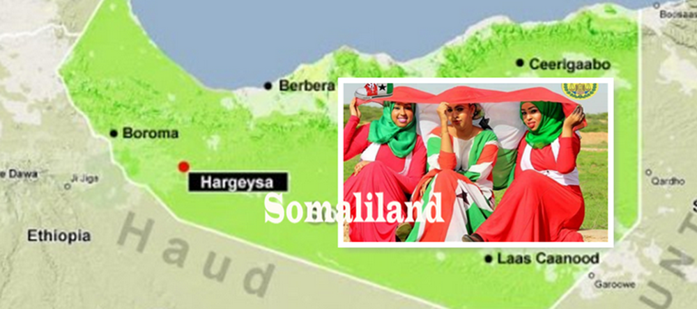
Somaliland is located in the northern part of the Horn of Africa, along the southern coast of the Gulf of Aden. It borders Djibouti and Ethiopia.
Somaliland is located north of the equator, and lies between the 08°00′ – 11°30′ parallel north of the equator and between 42°30′ – 49°00′ meridian east of Greenwich.
Background
Somaliland declared its independence from Somalia in 1991 and claims to be the successor state to the sovereign State of Somaliland. The State of Somaliland was created on 26 June 1960 when the British Somaliland Protectorate gained full independence from the United Kingdom, but it only existed as a sovereign state until 1 July that same year, when it united with the Trust Territory of Somaliland (the former Italian Somaliland) to form the Somali Republic.
Short facts about Somaliland
- Government type: Presidential constitutional republic
- Legislature: Parliament, consisting of the House of Elders (upper house) and House of Representatives (lower house)
- Official language: Arabic
- Largest city: Hargeisa
- Anthem: Samo ku waar (Long life with peace)
- Population: 3,5 million (2017 estimate)
- GDP (PPP): 1.9 billion USD (2015 estimate)
- GDP (PPP) per capita: 347 USD (2015 estimate)
- Currency: Somaliland shilling (SLSH)
- Time zone: UTC +3 (EAT)
- Calling code: +252 (not different than for Somalia)
- Driving side: Right
Currency – The Somaliland Shilling
The currency in Somaliland is the Somaliland Shilling. One shilling is worth USD 0.0018. One USD is worth 556 shilling. The exchange rate is pegged. The exchange rate is pegged and was increased in 2021. Before that, it was pegged at USD 0.0016.
The exchange rate that you pay when exchanging a currency other than the USD is set by the currency rate between your currency and the USD. The exchange rate of most currencies is set by the foreign exchange market (forex market). The foreign exchange market is a market where banks, hedge funds, international financial institutions, large corporations, and retail investors buy and sell currency. They buy one currency and pay in another. It is this trading that sets the exchange rates, Retail investors who want to trade directly on the forex market need an account with an ECN or STP forex broker. Retail forex traders have very little impact on the market. The Foreign exchange market turns over trillions of dollars every day. Banks, hedge funds, international financial institutions, and large corporations turn over 99% of all currency traded on the forex market.
Geography of Somaliland
The Awdal and Woqooyi Galbeed districts in western-most Somaliland are mountainous with plenty of fertile land. If we move further east into Togdheer, the landscape changes and become mostly semi-desert with struggling vegetation.
The northernmost part of Somaliland is hilly and includes the Cal Madow mountain range, which extends from the north-west of Erigavo to a few kilometres west of Bosaso city. It is within this mountain range that we’ll find Shimbiris, the highest peak of not just Somaliland but of all of Somalia, towering 2,416 meters above sea level.
Somaliland has 740 km of coastline, of which a majority is along the Gulf of Aden. To the interior of the Gulf of Aden littoral lies the rugged east-west ranges of the Karkaar Mountains.
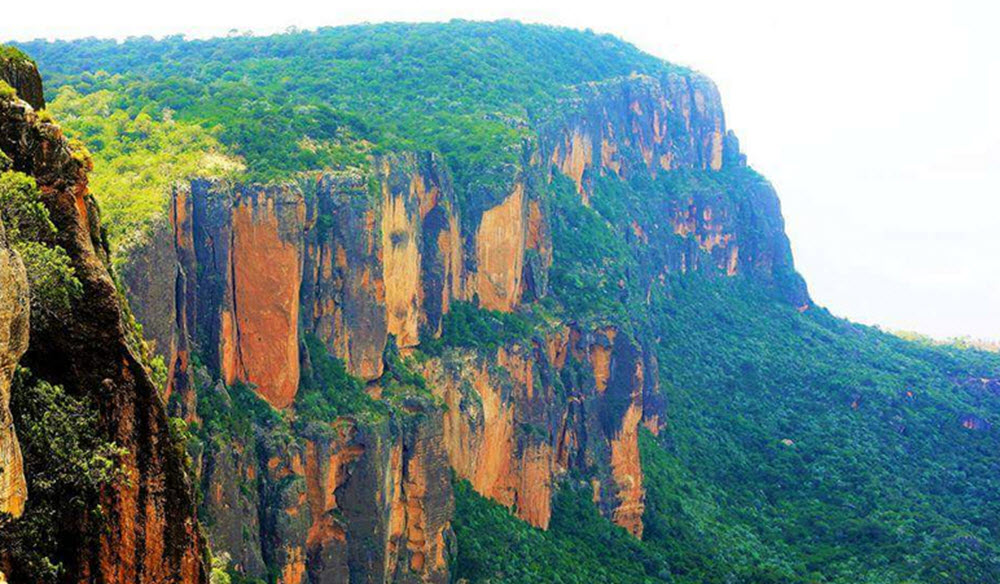
Karkaar Mountains.
The Karkaar Mountains, also spelled “Cal Miskaad” or “Qarkaar”, are a mountain range located in northern Somalia. Stretching from the northwestern to northeastern parts of the country, they run parallel to the Gulf of Aden.
- The mountain range extends from Somalia’s northwestern regions bordering Ethiopia and Somaliland, moving eastwards to the tip of the Horn of Africa. Its highest peak is named Shimbiris, which rises to an elevation of about 2,416 meters (7,927 ft).
- The mountains receive a relatively high amount of rainfall compared to other parts of the area. As a result, the Karkaar Mountains are home to dense juniper forests. The increased vegetation supports a more diverse range of wildlife than the semi-arid plains below.
Three topographic zone
Somaliland have three main topographic zone:
- Coastal plain (The Guban)
- Coastal Range (Ogo Mountains)
- Plateau (Haud)
The Guban
Along a part of Somaliland’s gulfcoast – between the cities Zeila and Berbera – you’ll find Guban, a coastal semi-desert plain characterized by scrub vegetation. In the Somali language, Guban means burned. The width of Guban varies from up to 12 km in the west to just 2 km in the east.
The summer season is marked by very high temperatures and very little rain, but the rainy season brings in more bearable temperatures and attracts both humans and livestock to the region.
During the rainy season, several watercourses runs through Guban to reach the sea, but during the rest of the year they are dry. When the rainy season brings water to Guban, the region goes through a period of lushness.
Ogo Mountains
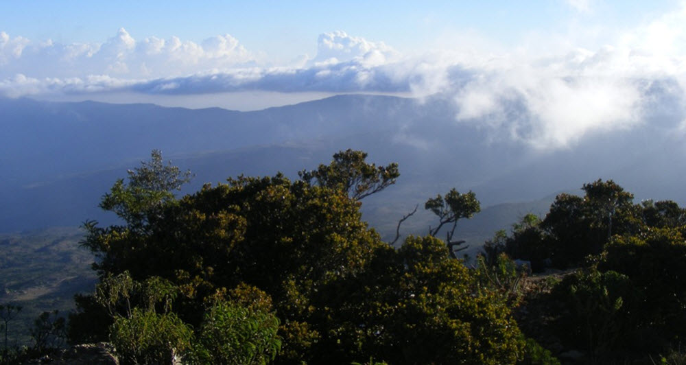
The Ogo Mountains, also known as the Galgodon Highlands, is a high plateau that crosses both the Sanaag and the Togdheer districts of Somaliland, south of Guban. The elevation ranges from 2,100 meters above sea level in the east to 1,800 meters in the west.
The climate here isn’t as hot as in many other parts of Somaliland, and the rainy season lasts all the way from June to mid-September, as the Ogo Mountains catch plenty of moist carried by Indian Ocean monsoon winds. Ogo is much rainier than Guban, and the rainiest month of them all is September, when over 100 mm of rain can be expected in an average year.
Haud
The Haud region is a large area of land mainly consisting of grassy plains that are situated in the eastern parts of the Horn of Africa. Spanning across parts of Ethiopia and northern Somalia, the Haud has historically been inhabited by Somali pastoralists who rear camels, cattle, and other livestock. For these pastoralist communities, the region is an essential dry-season grazing area.
Haud tends to have a larger human population during the rainy season than in the dry season.